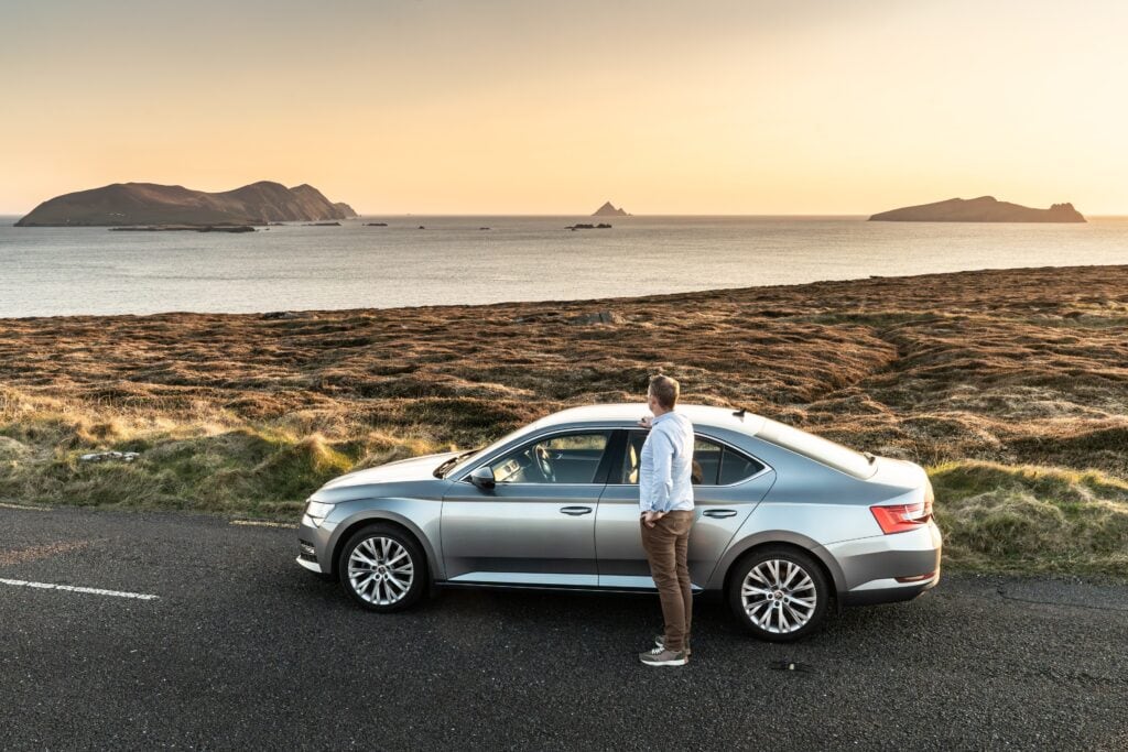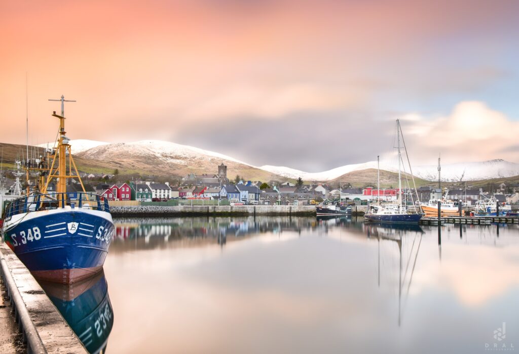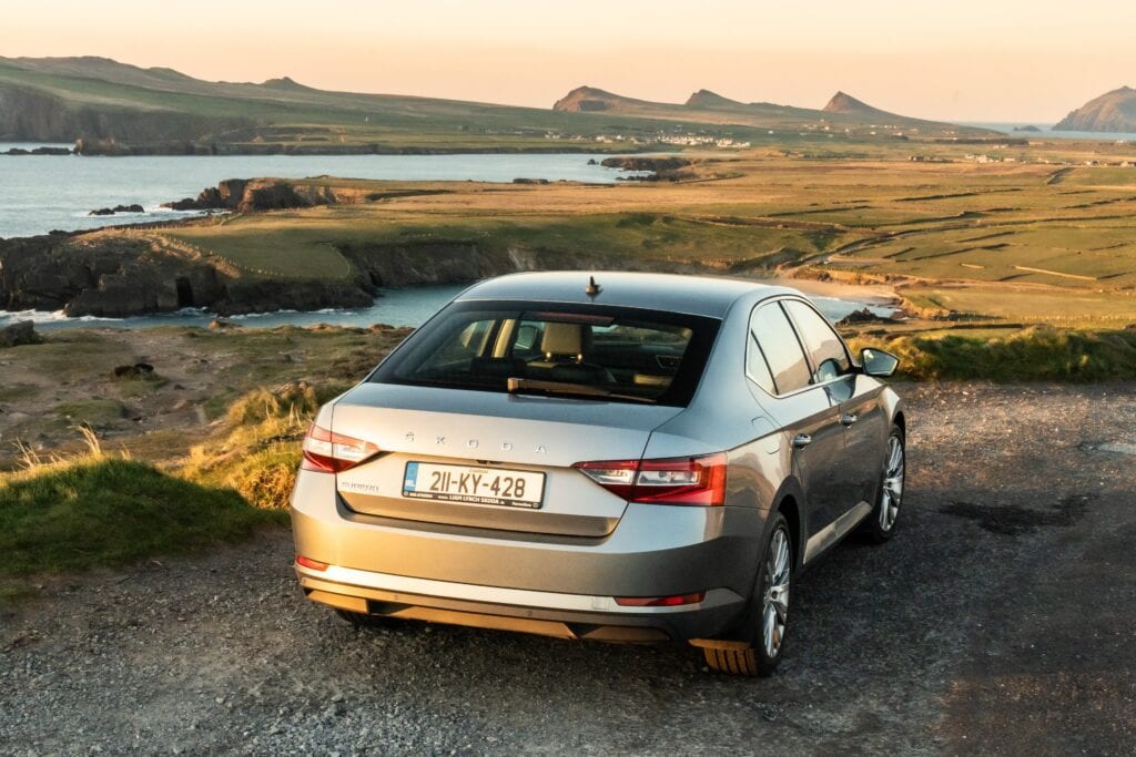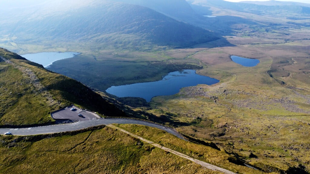
Conor Pass crosses the mountains between Dingle Town and the northern side of the Dingle Peninsula, climbing to approximately 456 metres above sea level. Known in Irish as An Chonair, the road opens onto views across mountains, glacial valleys, corrie lakes and the coastline around Brandon Bay.
For visitors, however, Conor Pass is as much a driving experience as a viewpoint. Part of the northern approach is extremely narrow, with limited room for two vehicles to pass, while cloud and fog can transform driving conditions remarkably quickly.
It is well worth experiencing in suitable conditions, but knowing what to expect beforehand makes a considerable difference.
What Is Conor Pass?
Conor Pass is a mountain road on the R560 linking Dingle with the northern side of the Dingle Peninsula towards Cloghane, Brandon Bay and Castlegregory.
At approximately 456 metres, it is one of Ireland’s highest mountain passes served by a surfaced public road. Rather than simply crossing the mountains, the road provides a close-up view of the landscape that separates Dingle from the peninsula’s northern coastline.
The summit is only a relatively short drive from Dingle, making it easy to include when exploring the peninsula. The character of the road changes considerably, however, once you continue down the northern side.
That distinction is important if you are deciding whether to drive the complete route.
What Is Conor Pass Like to Drive?
Approaching from Dingle, the road climbs steadily out of town towards the summit. This southern section is generally the more straightforward part of the journey and brings you to the main viewpoint and parking area.
Beyond the summit towards the north, the road becomes considerably narrower.
Here it runs beneath steep rock faces with sections where two vehicles cannot comfortably pass. Passing places allow traffic to move in opposite directions, but drivers need to look ahead, anticipate approaching vehicles and be prepared to wait.
If you are accustomed to narrow rural roads, this may not seem particularly unusual. If you are visiting Ireland for the first time, driving a rental car or are uncomfortable with heights and restricted roads, it can feel much more demanding.
There is no reason to rush.
The safest approach is simply to drive slowly, look well ahead and use the available passing places rather than trying to squeeze past an approaching vehicle.
How Difficult Is Conor Pass to Drive?
For a confident driver in a normal car and in reasonable weather, Conor Pass is generally manageable.
The section that causes most concern is the narrow road on the northern side rather than the climb from Dingle to the summit.
Drivers should expect:
- narrow single-lane sections
- blind or restricted bends
- oncoming vehicles
- passing places
- exposed rock close to the road
- cyclists
- rapidly changing visibility
- increased traffic during busy visitor periods
If another vehicle is already committed to a narrow section, it is often easier to wait at a wider point and allow it through.
Patience is far more useful here than speed.
Vehicle Restrictions on Conor Pass
Vehicle restrictions apply to the narrow section of Conor Pass, and larger vehicles should not assume that the complete route is suitable.
If you are driving a motorhome, campervan, large commercial vehicle or another unusually large or heavy vehicle, check the current roadside restrictions before attempting the northern section.
This is particularly important because being physically capable of reaching the summit does not necessarily mean that your vehicle is suitable for continuing down the narrow side of the pass.
If there is any doubt, do not proceed past a restriction sign.
Can You Visit Conor Pass Without Driving the Narrow Section?
Yes—and this is useful to know.
Visitors approaching from Dingle can drive to the summit viewpoint without continuing through the narrow northern section.
For someone who wants to experience the mountain scenery but does not feel comfortable tackling a very narrow road, this is a good alternative. Drive up from Dingle, stop at the summit, enjoy the views and return towards Dingle.
You do not have to cross the entire pass simply because you have reached the top.
Is Conor Pass Safe to Drive?
In appropriate weather, with a suitable vehicle and a driver comfortable on narrow roads, Conor Pass can be driven safely.
The important consideration is not whether the road is inherently “dangerous”, but whether the conditions and your vehicle are appropriate.
Low cloud can reduce visibility dramatically. Heavy rain affects road conditions and can send considerably more water down the mountain slopes. During colder weather, ice can create an additional hazard.
Traffic also matters.
A clear road on a quiet morning is a very different experience from meeting repeated traffic on the narrow section during a busy summer afternoon.
If conditions make you uncomfortable, there is nothing to be gained by forcing the journey. Kerry has no shortage of alternative routes and landscapes to explore.
Conor Pass Viewpoint
The main stopping point is at the summit, where a parking area provides one of the easiest places to appreciate the scale of the surrounding landscape.
On a clear day, the views extend across the Dingle Peninsula in both directions. Looking north, the landscape opens towards Brandon Bay and the mountains surrounding Mount Brandon. Looking south brings Dingle and the coastline beyond into view.
This is also one of the best places to understand why the pass exists.
Dingle lies on one side of a substantial mountain barrier; the communities and coastline around Brandon Bay lie on the other. Conor Pass provides a direct route across that divide.
Allow at least a short stop rather than simply driving through.
The landscape makes much more sense when you get out of the car and look at the geography around you. Visitors interested in finding other elevated and coastal perspectives can explore the guide to viewpoints on the Dingle Peninsula.
Pedlar’s Lake
One of the most interesting features of Conor Pass lies just below the road on the northern side.
Pedlar’s Lake, also known as Lough Doon, occupies a steep-sided corrie in the mountains. A small parking area beside the road provides access to a short climb towards the lake.
Although the distance is short, don’t mistake it for a flat roadside walk.
The route climbs over uneven and sometimes slippery ground, particularly after rain. Appropriate footwear makes the experience considerably easier, and anyone with limited mobility may prefer to appreciate the surrounding landscape from the road.
For those comfortable with the climb, the lake provides an excellent opportunity to see one of the features created by the glacial history of these mountains at close range.
How Glaciers Shaped Conor Pass
The scenery around Conor Pass becomes considerably more interesting once you understand what created it.
During the Ice Age, glaciers occupied these mountains and gradually reshaped the landscape through the movement of enormous quantities of ice and rock.
Look around the pass and you can still recognise the results.
The steep-sided hollows containing mountain lakes are corries—bowl-shaped depressions formed and enlarged by glacial erosion. The broader valleys below were also shaped by moving ice.
Pedlar’s Lake occupies one of these corries.
Rather than simply seeing mountains and lakes, you are looking at a landscape carrying evidence of conditions very different from those experienced in Kerry today.
This is one of the reasons I always recommend stopping rather than treating Conor Pass purely as a road between two places.
What Is the Weather Like on Conor Pass?
Weather matters enormously here.
Because of its elevation and exposure, conditions at the summit can be quite different from those in Dingle Town.
A morning that appears reasonably clear at sea level can produce cloud across the mountains, while conditions can also improve quickly as weather moves through.
On a Clear Day
Visibility is the main reward. You’ll have a much better understanding of the surrounding mountains, valleys and coastline.
In Low Cloud or Fog
Much of the reason for visiting disappears.
If the mountain is completely covered in cloud and your main reason for driving up is the view, it may be worth waiting to see whether conditions improve.
After Heavy Rain
Water running down the mountainsides becomes much more noticeable, but the road and walking ground around Pedlar’s Lake can also be wetter and more slippery.
In Winter Conditions
Ice, frost and poor visibility require considerably more caution. Don’t assume that conditions in Dingle Town reflect conditions at 456 metres.
When Is the Best Time to Drive Conor Pass?
There isn’t one particular month that guarantees the best experience.
Visibility is more important than season.
A crisp, clear winter morning can provide better views than a July afternoon covered in cloud.
If you have flexibility, look towards the mountains before setting out. From Dingle, you can often get a reasonable indication of whether the summit is clear.
Time of day also matters.
During the busiest visitor periods, travelling earlier in the morning generally means less traffic and makes the narrow sections easier to negotiate.
For photography, changing Atlantic light can be more interesting than completely clear skies. Broken cloud frequently creates patches of sunlight moving across the valleys and mountains.
The guide to planning the best time to visit Dingle explains how daylight, visitor numbers and weather affect the wider peninsula throughout the year.
Which Direction Is Best for Driving Conor Pass?
Both directions reveal different aspects of the landscape, so there is no universal “correct” direction.
Driving from Dingle towards the north allows you to climb to the summit before descending through the narrower section towards Brandon Bay.
Travelling towards Dingle from the north means encountering the narrow mountain section before reaching the summit and then descending on the wider approach towards town.
Your wider itinerary is therefore more important than choosing a direction purely for the view.
If you are exploring the northern Dingle Peninsula around Castlegregory, Brandon Bay or Cloghane, crossing Conor Pass provides a natural connection with Dingle.
If you simply want to visit the summit viewpoint and are concerned about the narrow road, approach from Dingle and return the same way.
How Long Should You Allow for Conor Pass?
Don’t judge Conor Pass purely by the driving distance.
If you simply cross the pass without stopping, it forms a relatively short part of a journey around the peninsula.
For most visitors, however, I would allow at least 30–45 minutes so you can stop at the summit, take in the views and avoid feeling pressured on the narrower sections.
Allow longer if you plan to climb towards Pedlar’s Lake or spend time photographing the landscape.
The point of Conor Pass isn’t to cross it quickly.
What Can You Visit After Conor Pass?
One of the strengths of Conor Pass is that it connects two very different sides of the Dingle Peninsula.
Continue north and you can explore the coastline around Brandon Bay, Cloghane and Castlegregory, with Mount Brandon dominating much of the surrounding landscape. Travellers exploring this side of the peninsula can also continue towards Brandon Creek, traditionally associated with St Brendan’s Atlantic voyage.
Return south and you are only a short distance from Dingle Town, making it easy to continue towards the western peninsula and Slea Head Drive.
This is why Conor Pass works particularly well as part of a wider journey rather than as an isolated viewpoint.
The road gives you a geographical introduction to the peninsula: Dingle on one side, the mountains in the centre and the long Atlantic coastline of the north on the other.
Combining Conor Pass with Slea Head
It is possible to combine Conor Pass with Slea Head Drive, but the day needs to be planned realistically.
Slea Head lies west of Dingle and includes coastal viewpoints, Gaeltacht communities, beaches and historical sites. Conor Pass leads north across the central mountain barrier. They therefore reveal very different parts of the peninsula.
If you have only one day, adding the full Conor Pass crossing to an already detailed Slea Head itinerary may make the journey feel rushed. A better option may be to drive from Dingle to the summit and return, or leave Conor Pass for a second day.
The Slea Head Drive route guide can help you judge how much time the western circuit requires before deciding whether to include the pass.
Other Scenic Stops Around the Peninsula
Conor Pass is only one of several landscapes that help visitors understand the geography of Corca Dhuibhne.
To the east, Inch Beach extends into Dingle Bay and provides a broad coastal view framed by mountains. To the west, Coumeenoole Beach presents a much more exposed Atlantic setting beneath steep coastal slopes.
Further around the western peninsula, Clogher Head offers views across the coastline near Clogher Strand and the Three Sisters.
These places are not substitutes for Conor Pass. Each explains a different part of the peninsula: its mountain barrier, sheltered bay, Atlantic edge and northern coastline.
A Local Guide’s Advice for Conor Pass
If the summit is clear and you are comfortable driving narrow Irish roads, Conor Pass is worth including in your time on the Dingle Peninsula.
But don’t feel that you have to drive the complete road.
If you’re nervous about the narrow section, drive from Dingle to the summit, enjoy the viewpoint and turn back. You will still experience one of the best parts of the pass without adding unnecessary stress to your day.
If you do continue north, take your time and watch well ahead for approaching traffic.
And most importantly, stop.
Conor Pass makes far more sense when you stand for a few minutes and look at the mountains, corries and valleys around you rather than simply watching them through the windscreen.
Continue Exploring the Dingle Peninsula
Conor Pass can form part of a longer exploration of the peninsula, but it should be fitted into the day according to visibility and available time rather than treated as a compulsory stop.
If you have several days, the three-day Dingle Peninsula itinerary allows Conor Pass and the northern coastline to be separated from the more detailed Slea Head circuit.
Visitors with limited time can use the guide to a perfect day in Dingle to choose a manageable combination of mountain, coastal and historical stops.
Steve’s Peninsula Tours’ private full-day Dingle Peninsula tour can include Conor Pass when the route, weather, vehicle restrictions and interests of the group make it appropriate.
Frequently Asked Questions About Conor Pass
How high is Conor Pass?
The summit of Conor Pass is approximately 456 metres above sea level.
Where is Conor Pass?
Conor Pass is on the Dingle Peninsula in County Kerry. The R560 crosses the mountains between Dingle and the northern side of the peninsula towards Cloghane, Brandon Bay and Castlegregory.
Is Conor Pass difficult to drive?
The approach from Dingle to the summit is relatively straightforward for most motorists. The northern section is much narrower and requires drivers to use passing places when meeting traffic.
Is Conor Pass suitable for rental cars?
A normal-sized rental car is generally more suitable for the pass than a large vehicle, provided the driver is comfortable on narrow roads and complies with all current road restrictions.
Can campervans drive Conor Pass?
Restrictions apply to larger and heavier vehicles on the narrow section. Campervan and motorhome drivers should check the posted restrictions for their particular vehicle rather than assuming the route is suitable.
Do I have to drive the whole Conor Pass?
No. You can approach the summit from Dingle, stop at the viewpoint and return towards Dingle without continuing down the narrow northern section.
Is Conor Pass worth visiting in bad weather?
It depends on the conditions. Cloud and fog can completely obscure the views, so if scenery is your main reason for visiting and you have flexibility, waiting for clearer conditions can provide a much better experience.
Is there parking at Conor Pass?
There is a parking area at the summit, with more limited stopping space near the access for Pedlar’s Lake. Space can be limited during busy periods.
Can you walk to Pedlar’s Lake?
Yes, but it involves a short climb over uneven ground rather than an easy level walk. Conditions can become slippery after rain, so suitable footwear is recommended.
How much time should I allow for Conor Pass?
Allow around 30–45 minutes for the drive and summit stop, and longer if you intend to explore Pedlar’s Lake or spend time taking photographs.